Where to look first
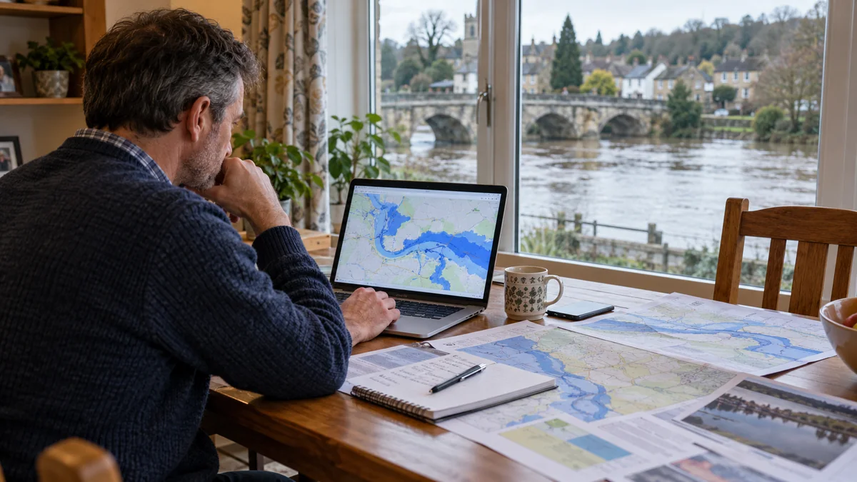
For a property in England, the government’s long-term flood risk service is a good starting point. It covers flooding from rivers and the sea, surface water, reservoirs and groundwater where information is available. There are separate services for Wales, Scotland and Northern Ireland. The site links to all four below.
Why the map is not the whole answer
A mapped risk describes an area rather than predicting what will happen to your particular house. Ground levels, thresholds, local drains, extensions and walls can make a real difference. A street may be dry while one low-lying property floods. Equally, a low mapped risk is not a guarantee of safety.
Look for evidence on the ground
Examine the slope of the driveway and garden. Is the front door lower than the road? Does rain regularly gather against the wall? Are there low air bricks, basement steps or a garage below road level? Ask carefully about previous flooding when buying a property.
Check past events separately
Historic flooding is useful evidence, but a house that has never flooded can still be exposed. Drainage changes, new development and more intense rain may alter conditions. Speak to neighbours, the council and your insurer where appropriate.
What to do with the result
If your risk is significant, sign up for relevant flood warnings and make a household flood plan. If the problem appears local to your home, a competent drainage specialist may help investigate gullies, pipes and surface-water disposal.
Useful official checks
England: long-term flood risk. Wales: Natural Resources Wales. Scotland: SEPA flood maps. Northern Ireland: Flood Maps NI.
Consider more than one kind of flooding
A property may be exposed to river water, coastal flooding, surface water collecting in a low spot, groundwater or drains surcharging during heavy rain. Each behaves differently. A river warning service will not necessarily identify a blocked private gully or water running off a neighbour’s raised patio. Use the official map as a starting point, then examine the property itself, particularly thresholds, low-level vents, below-ground rooms and routes from roads or sloping land.
What to keep as evidence
Take photographs of ponding during ordinary storms and record the approximate weather conditions, duration and whether multiple drains were affected. Speak to neighbours about flooding in the street, although their experience may differ from yours because ground levels vary. If you are planning protection works, ask the surveyor to identify likely water-entry routes, expected depths and safe limits for resisting water pressure. That makes a far more useful specification than buying a barrier just because an online map shows an elevated risk.
Reliable further information
For current warnings, official flood-risk maps and safety advice, use the relevant government service. This website cannot assess live conditions at your home.
Government flood guidance · National Flood Forum · Citizens Advice